In unit two of our Issues in Canadian Geography class, we have been exploring the concepts of Mapping! This includes learning what a map is, who makes maps, map projections and distortions, the features of a map, and how to read the stories that maps tell!
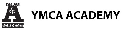
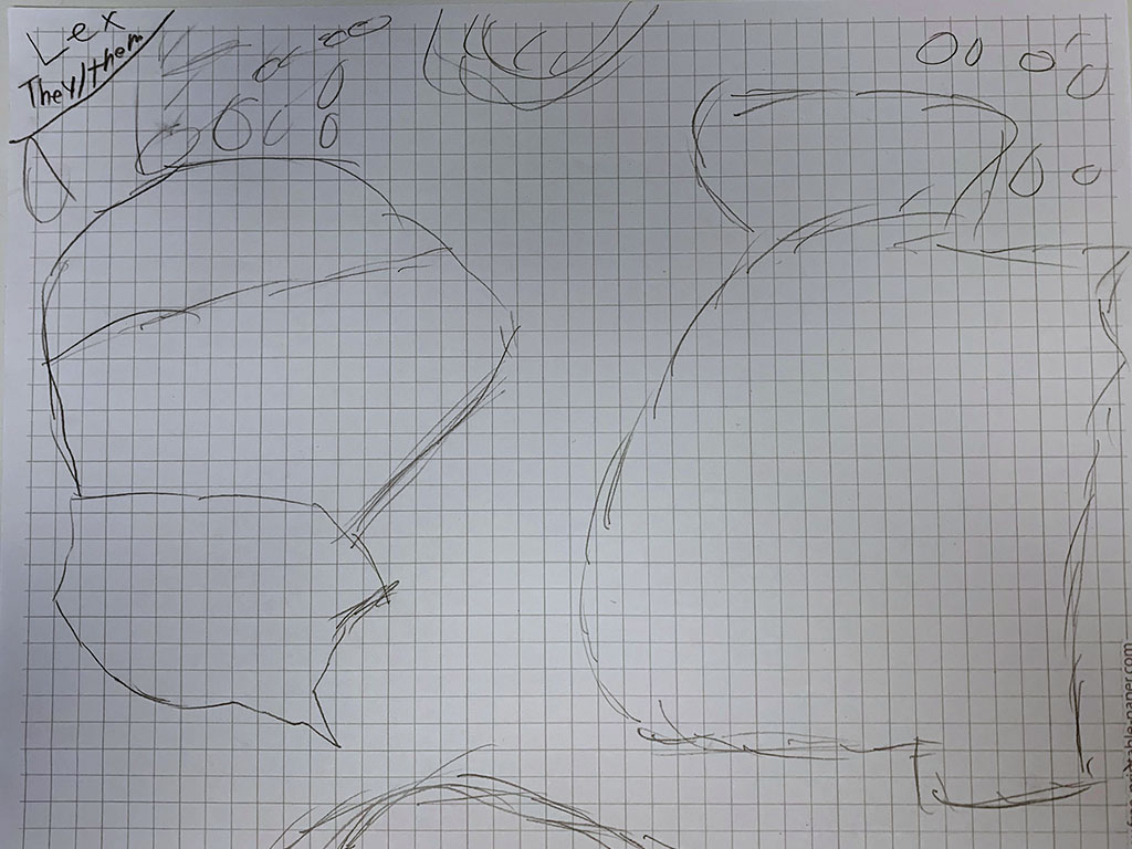
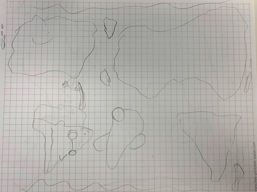
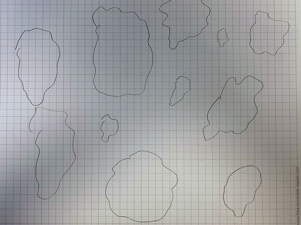
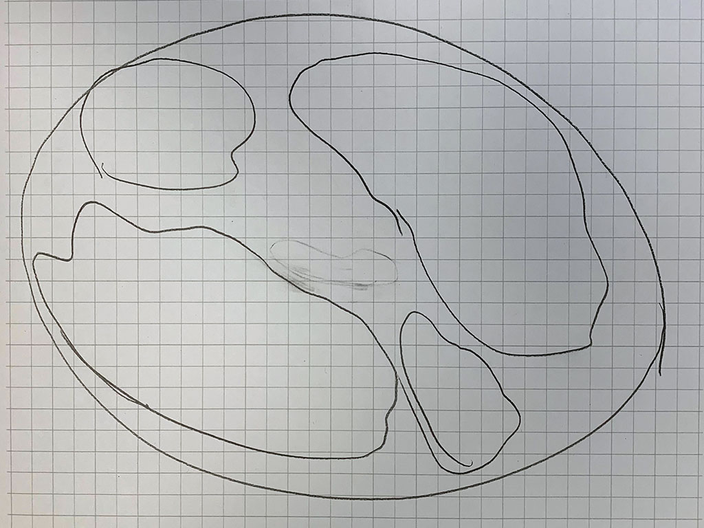
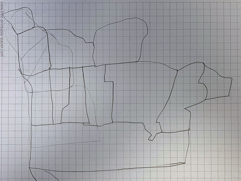
As a warm up activity, the students tried their hand at cartography by drawing a map of the world from memory. Within seconds, all of their erasers were frantically in use–which is the point of the exercise. When we think of the world, we often start with the area(s) of the world that we know best or feel the most familiar with, typically North America. When it’s time to move on to other continents and countries, we realize that we overestimated the size of North America then have to redraw it to make it smaller and smaller…and smaller. The fact that all maps (not just the ones we draw) are drawn from someone’s perspective s an interesting concept to discover with the students, and from there we can further explore how we view the world outside of our community.
See the above photos for our interpretations of the world!